
Stamford Neighbor Lookup Sources for a Block
A Stamford block in Fairfield County is best treated as several linked layers. Stamford GIS establishes parcel shape and proximity. Stamford Vision gives a separate owner card for each parcel. Recorded Stamford land documents date transfers. Stamford voter and historical sources may add names, but they have different access rules and time ranges.
| Source | What It Shows About a Block | Access |
|---|---|---|
| Stamford GIS VPCTaxParcels | Parcel polygons, address and MBL annotation, condo fields, and adjacent parcels | Free viewer and REST service; boundaries are approximate |
| Stamford Vision assessor | Owner, mailing address, PID or MBLU, assessment, building and sale reference | Free address or parcel search, one parcel at a time |
| Stamford Veoci GIS layers | Street centerline, neighborhood, municipal and police districts, parks, paving, and infrastructure | Free map and REST context |
| Stamford zoning and master plan service | Zoning, coastal, aquifer, open-space, historic-resource, and planning overlays | Free map and REST context |
| Stamford voting-location tool | Election place for a street number and name, not nearby voter names | Free address form |
| Stamford state voter registry | Released registration, district, party, and list-maintenance fields where allowed | Individual lookup or written SOTS and Registrar route; protected addresses are withheld |
| Stamford neighborhood associations | Public community names, contact links, and neighborhood context | Historical Society links; no public member roster located |
| Stamford Ferguson and Marcus archives | Past directory entries, obituaries, maps, house surveys, and vertical-file leads | Library, archive, onsite, appointment, or licensed digital access |
A Stamford owner card is not a current-occupant list. A Stamford map feature is not a person record. A Stamford neighborhood association is not a public membership roll. The useful result comes from keeping those distinctions visible.
Tracing Stamford Neighbors From One Parcel
The Stamford VPC Assessor Parcel Address Lookup is an ArcGIS application backed by the Stamford city parcel service. Search or pan to a Stamford address, click the starting parcel, and collect the parcels touching it or facing it across the street. The map is a search set, not a legal survey.
- Open the Stamford parcel viewer and locate the known address.
- Turn on parcel, street, address, and MBL annotation layers, then copy each nearby PID, MBLU, or parcel key.
- Run every parcel separately through Vision and save owner, mailing address, situs, and sales fields.
- Use the deed index only when a title date, prior owner, or legal parcel question needs confirmation.
- Use voter, directory, obituary, or history records as separate corroboration, never as automatic proof of occupancy.
The working flow is Stamford address to parcel, parcel to PID or MBLU, PID to assessor card, card to deed, then optional voter or history check. For the full named-street chain, use the Stamford street records route rather than treating a Stamford block search as a whole-street search.
Note: The GIS service reports a maximum record count of 1,000, so a broad query should be narrowed by map extent or parcel key.
Run Each Stamford Neighbor Parcel Through Vision
Stamford Vision’s public search avoids many street-spelling problems. Stamford address autocomplete activates at about three characters. Owner, account, MBLU, and PID modes can begin with a shorter value. The visible selector includes Address, Owner, Acct#, Mblu, PID, and All. A Past Owner path appears in portal script but was not visible in the current Stamford form, so it should not be promised as a public mode.
| Address | Street and number search with an autocomplete suggestion. |
|---|---|
| Owner | Owner-name search, useful when a parcel map gives only location. |
| Acct# | Account key displayed on a parcel result. |
| MBLU | Map, block, and unit key, with blanks possible for subunits. |
| PID | Numeric parcel identifier for a precise handoff. |
| All | Search across the available fields; narrow the result before comparing names. |
The Stamford card can show owner, mailing address, assessment, building and land traits, book/page, sale date, and sales history. It does not certify that the owner lives at the situs. Stamford mailing data can belong to a trust, company, post office box, or another address, so nearby owners and nearby households should never be treated as identical.
Stamford District Layers Around Your Neighbors
Stamford Veoci adds the geography that a parcel card cannot. Its documented layers include street centerlines, neighborhoods, police districts, municipal districts, parks, paving, parking, traffic signals, stormwater features, and parcels. These Stamford labels help explain why two adjacent lots can sit in different administrative settings.
The Stamford Veoci service is the source for the district and neighborhood layer set used in a block comparison.
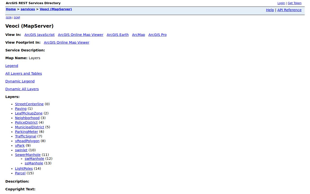
A Stamford layer feature supplies context, not a resident identity. Copy the Stamford parcel key, then confirm the owner or record through the custodian that holds it.
Corners, Condos, and Civic Parcels
Stamford adjacency is not always a simple line between two homes. A corner parcel can face one street and carry an address on another. A Stamford condominium map can split one structure into units. A park, school, water or utility parcel, right-of-way strip, or city-owned lot can touch a block without producing a household name. Across a street, the nearest polygon may also belong to a different district or postal area.
The Stamford zoning and master-plan service adds coastal, aquifer, architectural-review, open-space, historic-resource, and corridor overlays. Those layers help explain Stamford land context and boundary cautions, but they do not establish who occupies a parcel.
The Stamford zoning and master-plan layers provide the planning context for the parcel set.
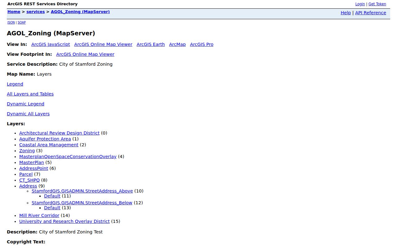
Use a deed or survey for legal boundaries. Use the map for leads and the assessor for a separate record check.
Stamford’s Four Neighborhood Association Links
The Stamford Historical Society links page names four Stamford community contacts: Glenbrook Neighborhood Association, North Stamford Association, Springdale Neighborhood Association, and Shippan Point Association. They are useful for public Stamford neighborhood history, meeting notices, and community contact. No public member roster or resident directory was found for any of the four.
| Glenbrook Neighborhood Association | Historical Society association link; no public member roster found |
|---|---|
| North Stamford Association | Historical Society association link; no public member roster found |
| Springdale Neighborhood Association | Historical Society association link; no public member roster found |
| Shippan Point Association | Historical Society association link; no public member roster found |
The Stamford Shippan history also describes a 1902 Shippan Improvement Association and its early membership, but that historical fact is not a current public roster. Treat Stamford association links as community context and contact channels, not as official rolls of Stamford neighbors.
The Stamford Historical Society links page is the source for all four named association links.
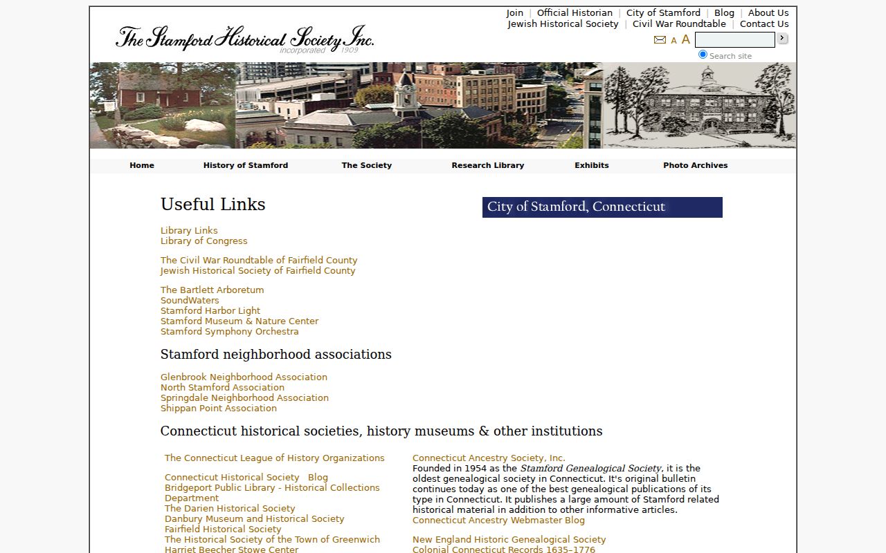
A public Stamford community link can support a safe question about a block without exposing private membership information.
Stamford Neighbor Lookup Privacy Limits
Stamford’s Connecticut voter system is not a public block browser. The Stamford state lookup checks an individual registration status. C.G.S. §9-50a governs list-maintenance records, while §9-50d withholds driver-license, identity-card, and Social Security numbers and allows a sworn safety statement to suppress a name and address from the public registry list.
A Stamford statewide voter file requires a written request to SOTS LEAD, payment of $300 before release, and compliance with the applicable use limits. A Stamford question about a defined district, year, or list-maintenance record should go to the Registrar at 888 Washington Boulevard, 6th Floor, or through a focused FOI request. The Stamford voting-location form returns an election place from a street number and name, not a list of nearby voters.
Stamford Safe at Home and the separate Voter Registry Privacy Program can make a legitimate registration intentionally absent from a public address view. A missing name is not proof that no Stamford neighbor is registered.
ZIP Differences Between Stamford Neighbors
Adjacent Stamford parcels can carry different postal values. The 2025 CAMA data returned Stamford-town Property_Zip rows for 06807, 06820, 06830, 06831, 06840, and 06870 as well as the 06901-06907 sequence. Stamford Property_Zip describes a parcel field; Mailing_Zip describes an owner or correspondence field. Neither is a legal city boundary.
When a Stamford block sits near a postal edge, retain Location, PID, MBLU, and the exact USPS result. A neighboring-town ZIP, a PO-box code, or a facility code can appear in a legitimate parcel record. The postal key should support the Stamford search, not replace the deed, parcel map, or municipal record.
Current Owners Versus Historical Neighbors
Stamford current-owner signals come from Vision and recorded land documents. Historical Stamford neighbors come from directories, census schedules, obituaries, yearbooks, house surveys, and the History Center’s vertical files. The Stamford deed chain can date a transfer, but it does not show every person who stayed at the address. A Stamford directory can show a household without showing title.
For a former Stamford block, start with the present parcel, search the deed chain backward, then ask Ferguson or Marcus staff for the matching directory year, map sheet, house survey, or obituary lead. The old Stamford street grid matters. Meadow and Hawthorne, School and Tresser, St John’s Place, Cottage, Chapel, Holly Place, and Willow can appear in different eras under different forms.
| Signal | Useful Question | What It Cannot Prove |
|---|---|---|
| Vision owner card | Who is recorded with the parcel? | Who is physically present today |
| Deed or map | When did title or lot description change? | Every household member |
| Directory or census | Who was listed at an address in an era? | Continuous occupancy or legal title |
| Obituary or probate | What family or estate clue closes a trail? | A full block roster |
Safe Stamford Neighbor Research
Stamford official records and commercial people-finder tools are not interchangeable. Stamford official layers have a named custodian, a stated field set, and a route for correction or copies. Commercial tools may combine old addresses, uncertain matches, paid details, opt-out records, and sources that cannot be checked from the result. They are a category comparison, not a reason to skip the Stamford city record.
| Layer | Best Use | Limit |
|---|---|---|
| Stamford official GIS and parcel roll | Assemble the physical block and parcel keys | Does not name every occupant |
| Stamford recorded land index | Date ownership transfers and legal descriptions | Title is not a household list |
| Stamford voter records | Check a released registration or district field | Privacy programs suppress sensitive addresses |
| Stamford community and history links | Find public meetings, neighborhood context, and archive leads | No public association rosters were located |
| Commercial people-finder category | May offer a broad, paid name search | Accuracy, source age, cost, and lawful-use limits vary |
The Stamford neighborhood history pages add local context for Glenbrook, Long Ridge, North Stamford, and Shippan.
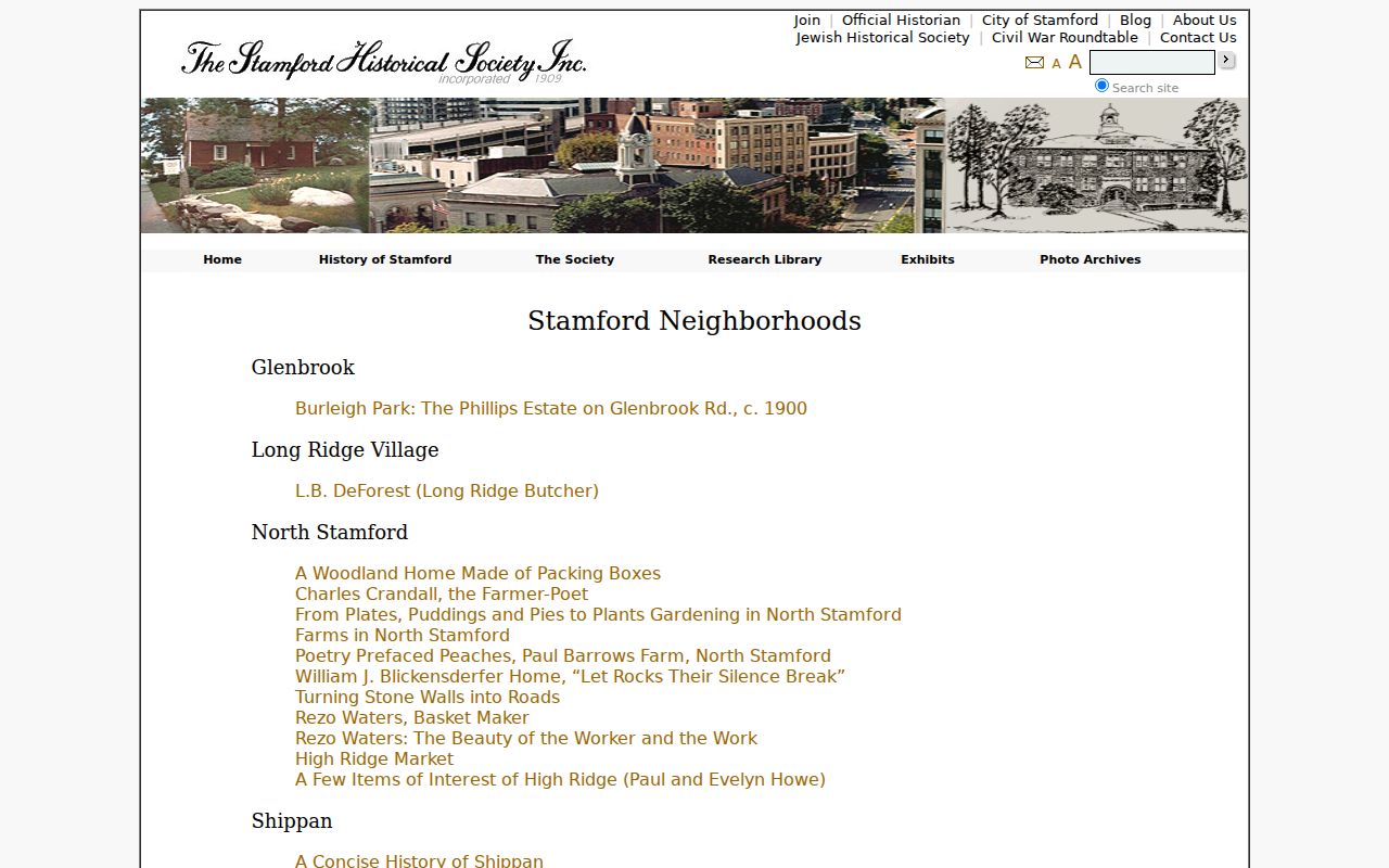
Use public association contacts, meeting notices, neighborhood history, and archive finding aids for community research. Do not publish private rosters or turn a block search into surveillance.
Lawful use. Stamford neighbor research is for civic understanding, family reconnection, property history, and personal safety awareness. Do not use a parcel, voter, or directory result to stalk, threaten, intimidate, or harass anyone.
Note: The safest block result is a documented set of parcel and source links, not a claim that every nearby person has been identified.